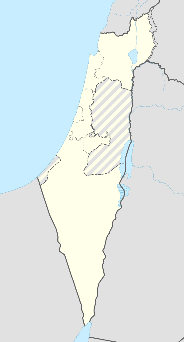
ואדי אל-חוארת'
מראה
| טריטוריה |
|
|---|---|
| גובה | 25 מטרים |
| קואורדינטות | 32°23′N 34°54′E / 32.39°N 34.9°E |
ואדי אל-חוארת' (בערבית: وادي الحوارث), היה כפר ערבי שהתקיים בעמק חפר של נפת טולכרם במחצית הראשונה של המאה ה-20. הכפר נוסד בשנות ה-30 לאחר רכישת אדמות עמק חפר בידי יהושע חנקין וקרן קיימת לישראל. כחלק מתהליך יישוב המעבדים הערבים, שהשתייכו ברובם לשבט בשם ערב אל-חוארת',[1] הוקמו עבורם שני ריכוזי בתים חדשים באדמות ביצות שיובשו בידי רשויות המנדט הבריטי – הצפוני במקומו של מושב גאולי תימן והשני בצמוד לקיבוץ מעברות.
במפקד הבריטי שנערך בשנת 1922 נמנו בכפר 810 נפשות: 428 גברים ו-382 נשים, מהם 808 מוסלמים ושני נוצרים.[2] במפקד שנערך ב-1931 גדלה האוכלוסייה ל-1112 נפשות: 585 גברים ו-416 נשים, כולם מוסלמים. הם התגוררו ב-255 בתים.[3]
הכפר פונה במלחמת העצמאות.[4] מסגד הכפר נהרס בשנת 2000 באופן פיראטי, ככל הנראה בידי תושב אלישיב.[5]
לקריאה נוספת
[עריכת קוד מקור | עריכה]- Adler (Cohen), Raya (1988). "The tenants of Wadi Hawarith: Another view of the land question in Palestine". International Journal of Middle East Studies. 20 (2): 197–220. doi:10.1017/S0020743800033936. JSTOR 162960.
- Barron, J. B., ed. (1923). Palestine: Report and General Abstracts of the Census of 1922. Government of Palestine.
- Bracy, R. Michael (2010). Printing Class: 'Isa al-'Isa, Filastin, and the Textual Construction of National Identity, 1911-1931. University Press of America. ISBN 978-0761853770. (p. 99 ff)
- Department of Statistics (1945). Village Statistics, April, 1945. Government of Palestine.
- Hadawi, S. (1970). Village Statistics of 1945: A Classification of Land and Area ownership in Palestine. Palestine Liberation Organization Research Center.
- Khalidi, W. (1992). All That Remains: The Palestinian Villages Occupied and Depopulated by Israel in 1948. Washington D.C.: Institute for Palestine Studies. ISBN 0-88728-224-5.
- Mills, E., ed. (1932). Census of Palestine 1931. Population of Villages, Towns and Administrative Areas. Jerusalem: Government of Palestine.
- Morris, B. (2004). The Birth of the Palestinian Refugee Problem Revisited. Cambridge University Press. ISBN 978-0-521-00967-6.
- Oppenheim, M. Freiherr von (1943). "Die Beduinen. Die Beduinenstamme in Palastina, Transjordanien, Sinai. Hedjaz". International Journal of Middle East Studies. Leipzig. 2: 51–55.
קישורים חיצוניים
[עריכת קוד מקור | עריכה]הערות שוליים
[עריכת קוד מקור | עריכה]- ^ Roy Marom, מרום, רועי, הפרכת השממה ההתיישבות הערבית המתרחבת בשרון ובמערב הר שכם, 1948 1700, חיפה, 2022 (עבודת דוקטורט) Dispelling Desolation: The Expansion of Arab Settlement in the Sharon Plain and the Western Part of Jabal Nablus, 1700-1948 (PhD dissertation), הפרכת השממה ההתיישבות הערבית המתרחבת בשרון ובמערב הר שכ, 2022-01-01, עמ' 308
- ^ Barron, J.B, . Palestine: Report and General Abstracts of the Census of 1922, Government of Palestine., 1923, עמ' table ix
- ^ Mills, E, Census of Palestine 1931. Population of Villages, Towns and Administrative Areas, Jerusalem: Government of Palestine, 1932, עמ' 58
- ^ Sharif S. Elmusa, Muhammad Ali Khalidi, All that Remains: The Palestinian Villages Occupied and Depopulated by Israel in 1948, Institute for Palestine Studies, 1992, עמ' 565, ISBN 978-0-88728-224-9. (באנגלית)
- ^ מתוך הישיבה השמונים ושלוש של הכנסת החמש עשרה יום רביעי, ג' באדר א' התש"ס (9 בפברואר 2000), הריסת מסגד ואדי אל חווארת


