
קובץ:Provinces of the Netherlands.png
גודל התצוגה המקדימה הזאת: 424 × 600 פיקסלים. רזולוציות אחרות: 170 × 240 פיקסלים | 339 × 480 פיקסלים | 842 × 1,191 פיקסלים.
לקובץ המקורי (842 × 1,191 פיקסלים, גודל הקובץ: 121 ק"ב, סוג MIME: image/png)
| זהו קובץ שמקורו במיזם ויקישיתוף. תיאורו בדף תיאור הקובץ המקורי (בעברית) מוצג למטה. |
תקציר
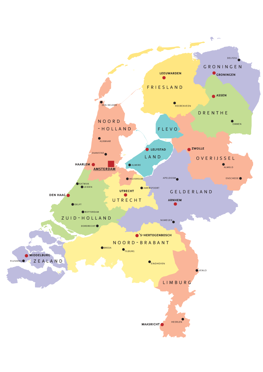
| תיאור | Map of Provinces of Netherland |
| תאריך יצירה | |
| מקור | נוצר על־ידי מעלה היצירה |
| יוצר | Norway.today |
רישיון
I, Norway.today, בעל זכויות היוצרים על היצירה הזאת, מפרסם אותה בזאת תחת הרישיונות הבאים:

|
מוענקת בכך הרשות להעתיק, להפיץ או לשנות את המסמך הזה, לפי תנאי הרישיון לשימוש חופשי במסמכים של גנו, גרסה 1.2 או כל גרסה מאוחרת יותר שתפורסם על־ידי המוסד לתוכנה חופשית; ללא פרקים קבועים, ללא טקסט עטיפה קדמית וללא טקסט עטיפה אחורית. עותק של הרישיון כלול בפרק שכותרתו הרישיון לשימוש חופשי במסמכים של גנו. |
| הקובץ הזה מתפרסם לפי תנאי רישיון קריאייטיב קומונז ייחוס-שיתוף זהה 3.0 לא מותאם. | ||
| ייחוס: I, Norway.today | ||
| ||
| תבנית רישוי זו הוספה לקובץ כחלק מעדכון רישיון GFDL. |
ייחוס: I, Norway.today
- הנכם רשאים:
- לשתף – להעתיק, להפיץ ולהעביר את העבודה
- לערבב בין עבודות – להתאים את העבודה
- תחת התנאים הבאים:
- ייחוס – יש לתת ייחוס הולם, לתת קישור לרישיון, ולציין אם נעשו שינויים. אפשר לעשות את זה בכל צורה סבירה, אבל לא בשום צורה שמשתמע ממנה שמעניק הרישיון תומך בך או בשימוש שלך.
- שיתוף זהה – אם תיצרו רמיקס, תשנו, או תבנו על החומר, חובה עליכם להפיץ את התרומות שלך לפי תנאי רישיון זהה או תואם למקור.
הנכם מוזמנים לבחור את הרישיון הרצוי בעיניכם.
היסטוריית הקובץ
ניתן ללחוץ על תאריך/שעה כדי לראות את הקובץ כפי שנראה באותו זמן.
| תאריך/שעה | תמונה ממוזערת | ממדים | משתמש | הערה | |
|---|---|---|---|---|---|
| נוכחית | 20:07, 5 באוגוסט 2007 | | 1,191 × 842 (121 ק"ב) | Norway.today~commonswiki | == Summary == {{Information |Description= Map of Provinces of Netherland |Source=self-made |Date= 4. august 2007 |Author= Norway.today }} Category:Maps of the Netherlands |
| 17:30, 5 באוגוסט 2007 |  | 1,191 × 842 (120 ק"ב) | Norway.today~commonswiki | {{Information |Description= Map of Provinces of Netherland |Source=self-made |Date= 4. august 2007 |Author= Norway.today }} Category:Maps of the Netherlands | |
| 17:25, 5 באוגוסט 2007 |  | 1,191 × 842 (127 ק"ב) | Norway.today~commonswiki | {{Information |Description= Map of Provinces of Netherland |Source=self-made |Date= 4. august 2007 |Author= Norway.today }} Category:Maps of the Netherlands == Licensing == {{self|GFDL|cc-by-sa-2.5,2.0,1.0|author=I, [[User:Norwa | |
| 17:21, 5 באוגוסט 2007 |  | 1,191 × 842 (116 ק"ב) | Norway.today~commonswiki | {{Information |Description= Map of Provinces of Netherland |Source=self-made |Date= 4. august 2007 |Author= Norway.today }} Category:Maps of the Netherlands |
שימוש בקובץ
![]() אין בוויקיפדיה דפים המשתמשים בקובץ זה.
אין בוויקיפדיה דפים המשתמשים בקובץ זה.